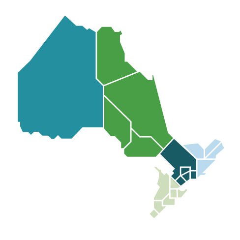
The East Lake Superior region extends from the Township of Dubreuilville in the north to the town of Bruce Mines and includes the city of Sault Ste. Marie and the township of Chapleau. The region is roughly bordered by Highway 129 to the east, Highway 101 to the north, Lake Superior to the west and St. Mary’s River and St. Joseph Channel to the south.
The local distribution companies providing services to customers in the area include:
Algoma Power Inc.
Hydro One Distribution
PUC Distribution
Community Engagement
The IESO engages with local and regional communities to seek input to help inform planning activities. See Key Resources below for the latest planning documents.